Try the Warren County Cycling Challenge
Warren County is rife with excellent biking trails, paved and unpaved, on-road and off-road, with and without hills. The Warren County Cycling Challenge is appropriate for beginners through advanced cyclists. Start at your own convenience and complete the trails on your own time. You choose your own adventure!
The Challenge: Rules, Routes & Trails
Complete any eight rides listed below in the Warren County Cycling Challenge and receive a Finisher's Certificate and window decal. There is no age limit, although youth should be accompanied by and supervised by adults on all rides. There is no time limit, participants just need to keep track of the dates of rides. And there is no fee.
Simply fill out the Cycling Challenge Qualification Sheet and send it in for your Finisher's Certificate and window decal! Scroll to the bottom for a link to the qualification sheet and trail maps.
Jump to: Road Rides | Off-Road Rides
Road Rides
West River Road
- Distance: 21 miles
- Climbing: 500 feet
- Maximum grade: 5%
- Surface: paved
- Traffic: on street
- Location: Fort Edward, Schuylerville
Betar Byway
- Distance: 4 miles
- Climbing: 150 feet
- Maximum grade: 9%
- Surface: paved and dirt trail
- Traffic: mostly separated from traffic, some on street
- Location: South Glens Falls
Champlain Canal Between Fort Edward & Fort Ann
- Distance: 24 miles
- Climbing: 250 feet
- Maximum grade: 2%
- Surface: stone dust, dirt road, paved
- Traffic: mixed of separated from traffic with some lightly traveled roads
- Location: Fort Edward, Hudson Falls, Kingsbury, Fort Ann
North Creek - Olmstedville
- Distance: 15 miles
- Climbing: 1,100 feet
- Maximum grade: 7%
- Surface: paved
- Traffic: on street
- Location: North Creek, Olmstedville
This route continues south to connect with Halfway Brook Trail; photo credit: Alan Nudi
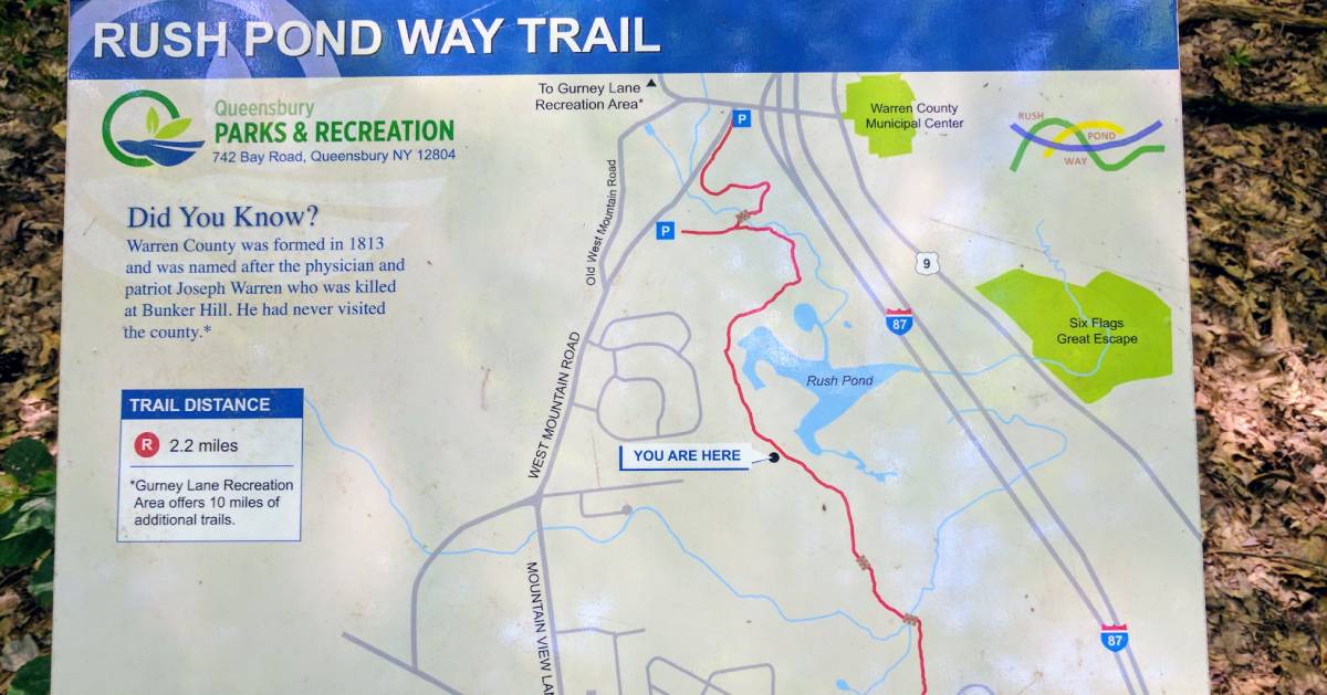
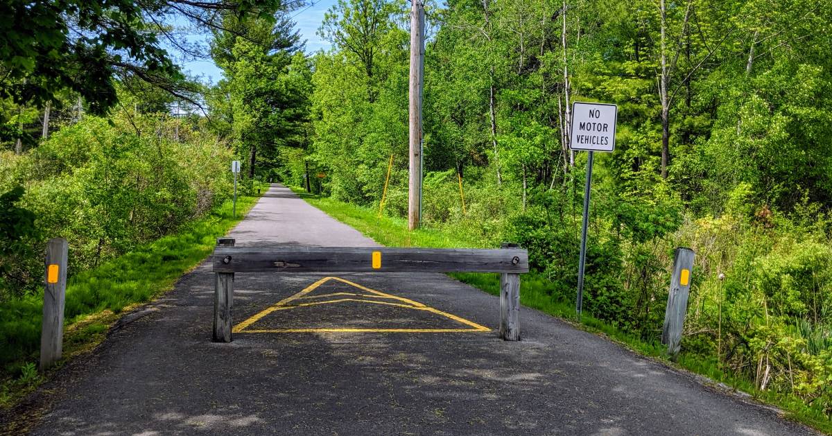
Rush Pond & Halfway Brook Trails
- Distance: 7.5 miles
- Climbing: 600 feet
- Maximum grade: 10%
- Surface: grave. some paved
- Traffic: mostly separated from street, some on street
- Location: Queensbury
South Glens Falls - Palmer Ridge Loop
- Distance: 31 miles
- Climbing: 800 feet
- Maximum grade: 4%
- Surface: paved
- Traffic: on street
- Location: South Glens Falls, Fort Edward, Gansevoort, Wilton, Moreau
Schroon River - Bean Road Gravel Loop
- Distance: 18 miles
- Climbing: 1,000 feet
- Maximum grade: 10%
- Surface: paved, gravel, and seasonal roads
- Traffic: with traffic
- Location: Bolton Landing, Chestertown, Horicon, Brant Lake, Warrensburg
Lakes & Farms
- Distance: 26 miles
- Climbing: 1,200 feet
- Maximum grade: 9%
- Surface: paved, less than 0.3 miles of dirt road
- Traffic: mostly on street, some separated from traffic
- Location: Lake George, Queensbury, Kingsbury
Schroon - Brant Lakes Loop
- Distance: 50 miles
- Climbing: 1,968 feet
- Maximum grade: 6%
- Surface: paved
- Traffic: on street
- Location: Brant Lake, Adirondack, Schroon Lake, Pottersville
Palisades Road
- Distance: 15 miles
- Climbing: 450 feet
- Maximum grade: 3%
- Surface: paved
- Traffic: on street
- Location: Brant Lake
Rivers and Lakes
- Distance: 41 miles
- Climbing: 1,500 feet
- Maximum grade: 5%
- Surface: paved
- Traffic: on street
- Location: Warrensburg, Chester
Three Lakes
- Distance: 32 miles
- Climbing: 930 feet
- Maximum grade: 4%
- Surface: paved
- Traffic: on street
- Location: Brant Lake, Chestertown, Loon Lake, Pottersville, Schroon Lake, Adirondack
Schroon River Road to Schroon Lake
- Distance: 20 miles
- Climbing: 700 feet
- Maximum grade: 3%
- Surface: paved
- Traffic: on street
- Location: Horicon, Chestertown
Glen-Athol
- Distance: 22 miles
- Climbing: 1,100 feet
- Maximum grade: 7%
- Surface: paved
- Traffic: on street
- Location: Warrensburg, Athol, The Glen
Warren County Bikeway
- Distance: 20 miles
- Climbing: 400 feet
- Maximum grade: 4.5%
- Surface: paved
- Traffic: mostly separated from traffic, some on street
- Location: Lake George, Queensbury, Glens Falls
Find more info on the Bikeway »
Lake George/Bay Road/Bikeway
- Distance: 17 miles
- Climbing: 900 feet
- Maximum grade: 7%
- Surface: paved
- Traffic: on street
- Location: Lake George, Queensbury
Warrensburg-Chestertown Loop
- Distance: 32 miles
- Climbing: 1,300 feet
- Maximum grade: 5%
- Surface: paved
- Traffic: on street
- Location: Warrensburg, Chestertown
Schroon Lake Loop
- Distance: 26 miles
- Climbing: 1,300 feet
- Maximum grade: 7%
- Surface: paved
- Traffic: on street
- Location: Schroon Lake, Adirondack, Pottersville
Queensbury/Champlain Canal Lock 9 Loop
- Distance: 30 miles
- Climbing: 1,250 feet
- Maximum grade: 7%
- Surface: paved
- Traffic: mostly on street, some separated from traffic
- Location: Queensbury, Kingsbury
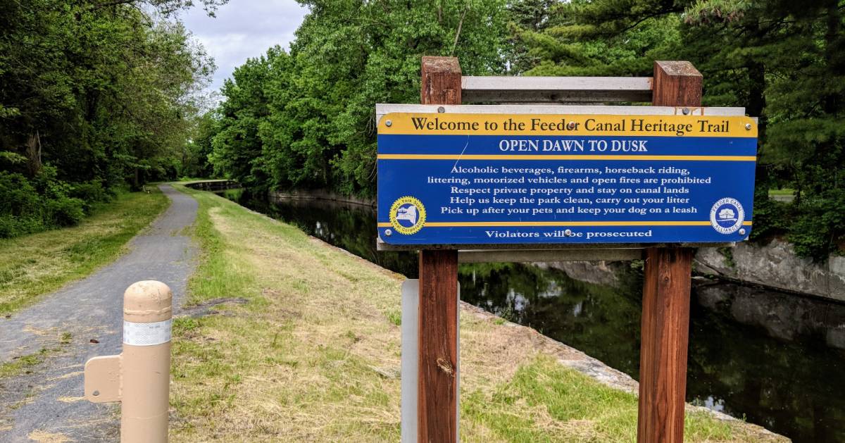
Feeder Canal Towpath Trail
- Distance: 18 miles
- Climbing: 300 feet
- Maximum grade: 6%
- Surface: stone dust, some paved
- Traffic: predominately separated from traffic, some on street
- Location: Glens Falls, Hudson Falls, Fort Edward
See more info on the Feeder Canal Towpath Trail »
North Creek - Irishtown
- Distance: 31 miles
- Climbing: 2,100 feet
- Maximum grade: 10%
- Surface: paved
- Traffic: on street
- Locatin: Glens Falls, Hudson Falls, Fort Edward
Stony Creek Loop
- Distance: 47 miles
- Climbing: 2,500 feet
- Maximum grade: 7%
- Surface: paved
- Traffic: on street
- Location: Lake George, Queensbury, Lake Luzerne, Hadley, Stony Creek, Warrensburg
Three Mountains
- Distance: 44 miles
- Climbing: 4,500 feet
- Maximum grade: 16%
- Surface: paved
- Traffic: on street
- Location: Hague, Bolton, Horicon
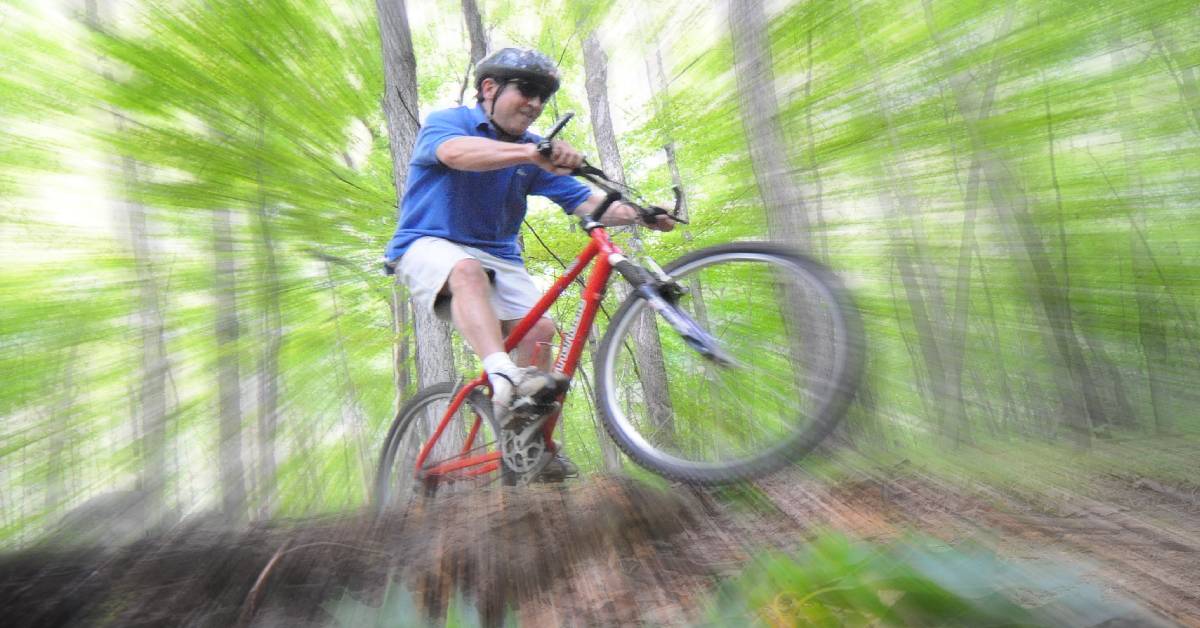
Trail Rides
Hudson Pointe
- Trails: 1
- Total distance: 3/4-mile
- Total descent: 65 feet
- Trail type: single track
- Location: Queensbury
Brant Lake Bike Park
- Trails: 5
- Total distance: 5 miles
- Total descent: 400 feet
- Trail type: single track
- Location: Brant Lake
North Creek Ski Bowl
- Trails: 8
- Total distance: 10 miles
- Total descent: 1,600 feet
- Trail type: single track
- Location: North Creek
Gurney Lane Recreation Area
- Trails: 20
- Total distance; 10 miles
- Total descent: 1,800 feet
- Trail type: single track, double track
- Location: Queensbury
Learn more about Gurney Lane Recreation Area »
Garnet Hill Lodge & Resort
- Trails: 4
- Total distance: 3 miles
- Total descent: 250 feet
- Trail type: single track
- Location: North Creek
Find out more about Garnet Hill's Outdoor Center »
This Challenge is brought to us by the Warren County Safe and Quality Bicycling Organization in partnership with the Warren County Tourism Department.
See the Cycling Challenge Qualification Sheet and links to trail maps »
Find out more at: ADKCyclingAdventures.org